April 2, 2016
Close to a decade ago I climbed to the summit of Mount Zion for the first time. It was summer and I thought I might very well die on the trail up. Then, before I knew it, we were at the top and all thoughts of a trail-induced death vanished. I have made the trek up a half dozen times since. As it was my first summit, it also became my grandson's first summit, as well as a handful of friends.
The trail up Mount Zion isn't overly steep, but climbs steadily and consistently uphill, covering 1300 feet in just over 2-1/4 miles. It's just steep enough to suck the air out of your lungs and give your thighs a good workout. Due to the popularity of nearby Mount Walker, Mount Zion is somewhat overlooked, which meant we would pretty much have the trail to ourselves for the majority of our hike. This fact added to the intermediate grade of the climb was precisely why we ventured out on this trail.
 Our adventure began on the drive up through the thick low-lying cloud cover. After a few miles of poor visibility (nothing like trying to dodge invisible potholes) we finally emerged out of the clouds into skies that were clear and blue. The morning sun lit the surrounding landscape and promised us a spectacular hike. We parked at the trailhead, donned our packs and began our trek. If you hike this trail in late-May/mid-June, you will be hiking through a cathedral of pink wild rhododendrons; alas, we were too early for the show. Instead, we were blessed with peek-a-boo views of snow-covered Mount Townsend and Mount Hamilton to the southwest, as well as other peaks too numerous to name here (I couldn't name them all anyhow...).
This trail doesn't possess many switchbacks, instead it leads you rather directly to the summit. We hiked through second growth forest (a fire burned through here decades ago), huckleberries, salal and wild rhodies. After a few pauses to catch our breath, we made it to the top. The summit itself was once home to a fire lookout, which was removed in 1975. It's evident why they built one there - the easterly view from Mount Zion looks across Puget Sound (which was heavily cloaked in clouds) to the Cascades. To the west, before the trees took over, you could once see across the northern portion of the Olympics. Sadly, I didn't get any good photos of the view to share.
There was a wee bit of snow left on the summit, in which the youngest of our group and our canine companions played. For many of the group this was their first mountain summit - as it was mine a decade prior. Zion holds a special place in my heart and I love sharing her. As we immersed ourselves in the moment, and the view, we ate our lunches. Eventually it was time to pack up and head back down. The downward journey is always harder on the joints than the trip up, and the Mount Zion trail was no exception. By the time we reached the cars our knees were voicing their displeasure at the abuse.
If you are in reasonable condition and would like to hike to the top of a mountain, I highly recommend Mount Zion and encourage you to make the trip to Quilcene. It's worth the effort. This is, and always will be, one of my favorite trails.
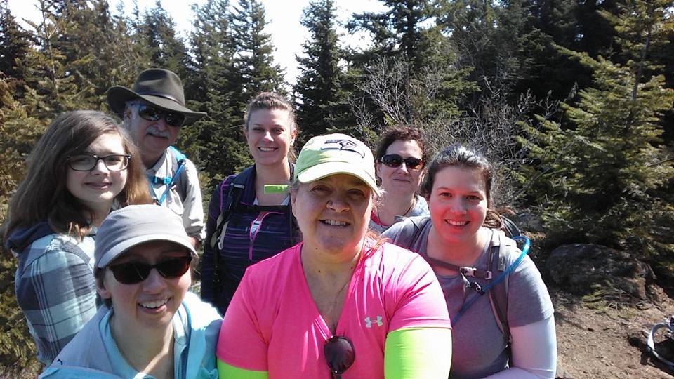 |
| Our Summit Group; (Clockwise) Lauren, Bill, Annalise, Lelani, Andrea, Evie, me |
 |
| Zillah & me at the Mount Zion summit |
Hike 12 of 52
Distance: 4.2 miles
Elevation gain; 1,300'
Elevation gain; 1,300'
Max Elevation Achieved; 4,274'
No comments:
Post a Comment