Monday, September 12, 2016

Point of Arches

September 4, 2016


Foggy morning at Point of the Arches
A good portion of our second day at Shi Shi Beach was spent hiking out to Point of the Arches. It's not a long hike out there, but we wanted to take our time and really enjoy the day. We were running low on fuel for our stove, so Kevin volunteered to hike back to the cars and grab an extra canister while the girls spent a day on the beach. Thus, after a trail breakfast of freeze-dried eggs & bacon (with extra bacon), Cupcake, Evie and I started our beach adventure. Shi Shi Beach is located in one of a series of coves located on the upper northwest Olympic peninsula. It is hemmed in on both ends by sea stacks; the southern tip is also home to some great arches ... hence the name 'Point of Arches'. We had already explored the north end, so today we were headed south. It was a foggy morning and stayed gray all day, but we didn't mind. This area is beautiful no matter what the weather is like.


Overnight the tide had come in high, leaving behind the sort of litter you actually want to see on the beach; kelp, shells and ocean-smoothed stones. We slowly hiked down the beach doing a bit of beachcombing on our way - Cupcake found a few shells to add to her fledgling collection at home and I picked up a few of the nearly perfect white stones that I covet. We noted the various campsites set up along the beach and decided we had the best camp of all because our tents weren't filled with sand (or hopping with humongous sand fleas). We watched seagull parents walk their adolescent chicks down to the water for a lesson in feeding. It was fun watching them race in and out with the tide, searching for delectable morsels and testing their newfound flight skills.  


The previous night had been a rough one for Cupcake, due in part to the absolute dark in the woods and in part to the loud roar of the surf. She, I learned, is afraid of the dark and has frequent nightmares. We talked, the two of us, about the nature of waves. We discussed the 'whys' and 'hows' of tides and waves, and about the safety of our campsite in the trees. All along the way she tested the water-repellency of her hiking boots, which, I'd like to point out are only effective up to the ankle. At that point, we tested the insulating quality of good wool socks. This we learned when crossing Petroleum Creek - the only fresh water source on the beach. 


Cupcake braves the sea cave
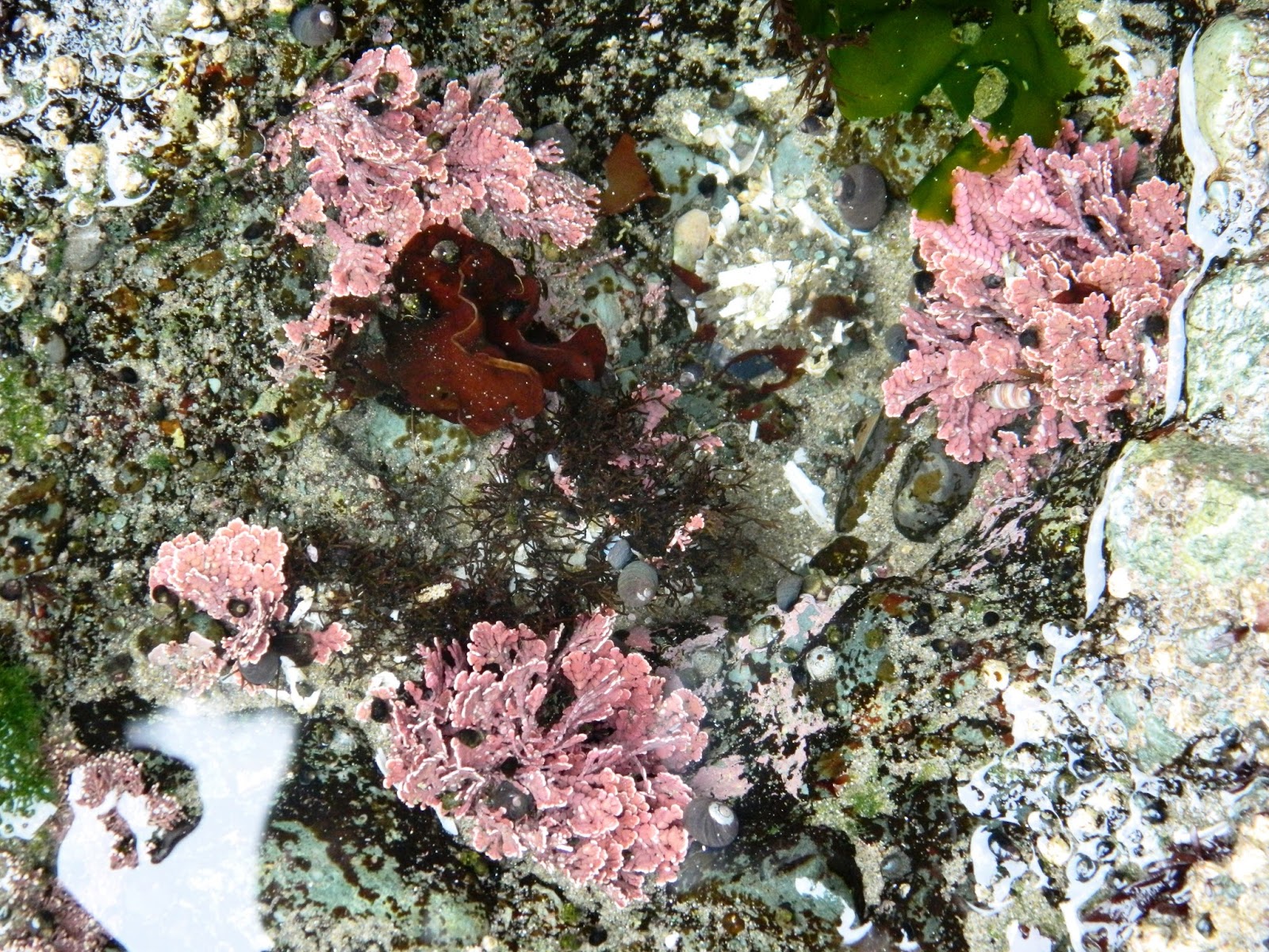
1.5 miles later we made it to the Point of Arches where we explored a sea cave and more tidal pools. The anemones seemed bigger at this end, the starfish were more numerous, and the rocks were covered in huge clusters of mussels. The plant life in the pools differed as well. We carefully made our way over a few of the rocks, doing our best not to step on exposed anemones. The tide, however, was coming in pretty fast so we didn't venture out very far towards the arches. They will be there to explore on another visit when the low tide is more significant.  


On the hike back towards our camp I took off Cupcake's boots, draped them around her neck and pulled up her pant legs. I wanted her to be able to enjoy walking in the water without me constantly scolding her to get out of it. The trip, after all, was supposed to fun. Once she had her shoes off, she walked a little in the water but then realized that digging her toes in the sand was just as fun. She liked the way it felt on the bottoms of her feet, so would go down to the water, then play in the wet sand a bit, then goof around in the dry sand, and so on. It brought back memories of my own childhood, playing on the beach with my mother and grandmother.


Surfers had hit the water while we were savoring our time on the beach. We sat and watched them for awhile, resting and enjoying each other's company. Cupcake, ever observant, was laughing at the seals, who would pop their heads up and watch the surfers. We tried to guess what the seals were thinking... "What are those silly humans doing now?", "When are they going home?", "Ha ha. Look at him fall."


While out on the beach we met up with some other campers who'd had better luck scavenging dry firewood and they offered to bring some up to our camp. By the time we returned from the stinky potty, they had a small flame going for us, which Kevin grew into a wonderfully warming (and feet/sock drying) fire. We fixed s'mores, then heated water for our dinners. The wind was starting to kick up a bit, blowing in a bit of a chill, so we were very thankful for Kevin's wonderful fire, and for the kindness of the young couple that supplied us the dry wood.


The clouds never really cleared up, so there was no sunset. As Cupcake very astutely pointed out, you can't have a sunset if you don't have a sun. We got changed into our warm fleece jammies and crawled into our sleeping bags, while Evie and Kevin enjoyed some time alone by the fire. She and I talked a bit more about waves, and I read a few pages to her until she fell asleep. I'm happy to say, there were no fears about the waves coming to get us, no issues with the darkness, critters in the woods, or the sounds of the wind in the trees. There was just one happy little girl sleeping soundly with her Nana.


My lil hiker, Cupcake
Hike 45 of 52
Distance: 3 miles
Elevation Gain: 0 feet
Highest Elevation Achieved: 0 feet (unless you count climbing on rocks!)


Friday, September 9, 2016

Shi Shi Beach

September 3 / 5, 2016


Back in June my granddaughter, 'Cupcake', asked to go backpacking with me. During every visit I would hear "Nana, I want to hike with you." She's six, so I knew my summer schedule would be too difficult for her. Keeping her request in mind, Evie and I worked together to plan a fun, interesting and easy overnight trip for Labor Day weekend, then cleared it with my daughter. Evie's husband, Kevin, even joined us. Much to everyone's excitement, after weeks of planning, the weekend finally arrived and we set off for our three day adventure.

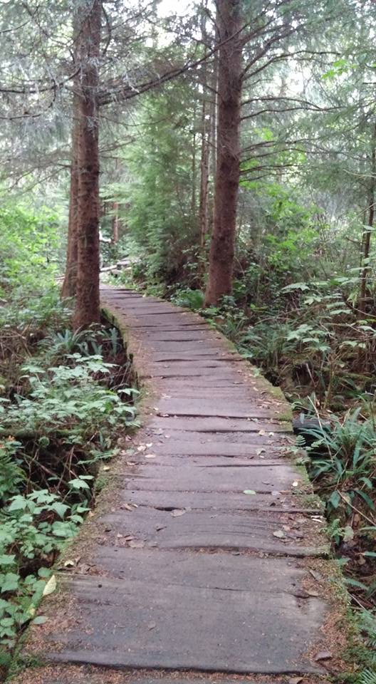
A drier portion of the trail
to Shi Shi Beach
After a long drive, a 'forever' drive if you're six, we arrived at the trailhead with all the required permits in hand. Cupcake donned her pack like a pro and set off down the trail, trekking poles in hand. The trail began in a second growth forest of cedars located on the Makah reservation. It was interesting to see where patches of bark had been cultivated for use in making traditional headwear. When you hike with a youngster, your eyes are opened to amazing discoveries that, as adults, we miss; every twisted tree trunk, mushroom, and beetle was enthusiastically pointed out. Salmonberries and young alder 'reached out' to high-five us. A branch touched her head to feel her pretty hair because, you know, trees have leaves not hair.


The trail to Shi Shi Beach is heavily travelled, hosting as many as 300 people a day during the summer. It is well-known for its muddy patches that never really dry up, due to the close proximity to the cool, wet coastal air. We strode through and around these patches without incident until we reached the muckiest one, at which point Evie started laughing. The mud had pulled her shoe partially off, so she could now say she'd had her 'sole sucked' at Shi Shi!

Just as Cupcake was beginning to tire under the weight of her pack, we arrived at the toughest part of the trail - a 160-foot cliff face. Just beyond the trees you can see the ocean and hear its waves crashing ashore. The trail here is very steep, occasionally muddy, and riddled with large rocks and exposed roots. Fortunately there are a series of ropes affixed to trees to aid hikers in their climb to/from the beach. We were prepared to help Cupcake down this section of trail, but she took a deep breath, squared her shoulders and bravely started her climb down. The girl is a hiking machine! I was so proud of her.

"Stinky, stinky, stinky!"

At the bottom of the trail was a nice campsite, tucked up against the cliff wall in the trees. We opted to setup our camp here rather than on the beach as originally planned. We greeted the beach with a quick "Hello" then busied ourselves with setting up camp while Cupcake explored a little. We located the backcountry toilet, which was just a few minutes down the trail through the trees. Kevin and Cupcake gathered some firewood which, unfortunately, was too damp from the recent rains to give us an effective fire. Kevin gave it his best effort and built us enough of a fire to warm our hotdogs for dinner. After eating, we hit the beach to explore.


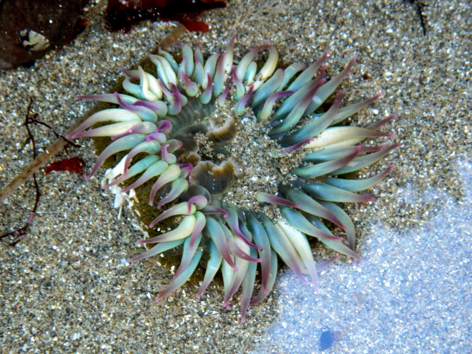
I love the ocean at low tide, when it gifts us with tide pools. They are amazing little ecosystems that give us a glimpse into life at the bottom of the ocean. Everyone had fun tickling sea anemones to make them curl up within themselves, watching hermit crabs lumber around in their mobile homes, spying bullheads hiding beneath the kelp, and searching for other sea life. We saw only a few starfish, but those we saw were healthy specimens, which made me happy. The past few years have seen our local starfish suffering from a disease that is 'melting' them. Seals rested on a distant rock, waiting for the incoming tide. A squeal of delight would erupt every time Cupcake discovered something new, much of which adults 'miss' or take for granted. There is nothing like seeing the world through a child's eye to make us young again. She learned to watch where she put her feet (not easy for a young child) so not to harm any exposed anemones, barnacles or mussels. I, of course, took advantage of this time to teach her some early eco-responsibility and naturalist lessons ... which she absorbed like a sponge. 


As the light began to fade, we sat on the driftwood near our camp and watched an amazing sunset. It had been a long day, so we all turned into bed, snuggling into our cozy sleeping bags for a good night's sleep. Our first night was a bit rough, but one that cemented my relationship with my granddaughter as one of love and trust. I will forever remember the waves of Shi Shi as the binds that will forever tie us together.  


Two days later, after an amazing weekend of fun, learning and exploration, we headed back up the cliff wall and down the trail towards home. Kevin, Evie and I watched Cupcake transform and grow up a little this trip. As we found peace and relaxation, she found confidence, fun, and ... well, I think we can sum her weekend up with this quote ... "Nana, I even have sand in my butt-crack."

Cupcake at Shi Shi Beach
Hike 44 of 52
Distance: 4 miles
Elevation gain: 200'
Max Elevation achieved: 200'  


Friday, September 2, 2016

Mount St Helens

August 20, 2016
The route to the crater rim of Mount St Helens is 5 miles in length, but this year's trek began 7 months and 250 miles ago. It was actually decided a year ago that I would be making the journey for a third time, when my sister fell ill just a few days before last year's scheduled trip. Her own Mt St Helens story began 18 years ago, and I was determined to help her see it through to the end. In January of this year I resumed my conditioning in preparation for another trip to the top. With my physical limitations, I have known all along that this would likely be my final trip to her summit - my body really struggles to meet the demands of Mt St Helens. But meet them it does.

Our group awoke pre-dawn, attached permits to their packs and hit the trail long before the sun began to peek over the horizon. Most of us had headlamps to maneuver through the mountain forest easier. If you have never hiked in the dark, you need to try it just once - headlamps cast an eerie light on the forest, illuminating only the path in front of you, casting shadows into the obscurity of the blackness. We hiked in absolute silence, the chattering of our excited group the only sound breaking through the darkness. We reached the tree line in time to watch the sun rise over Mt Adams in the distance as planned. We sat on the boulders at gateway to the Climber's Route, bathed in the early morning sunlight, and ate breakfast.

Sunrise with Mt Adams in the distance


Evie strikes a pose among the boulders
Having fueled ourselves, it was time to get down to business and start our climb. The route to the top can be broken down into three distinct and vastly differing sections. We had already completed the forested section. We now faced an imposing 2-mile boulder field that is beyond description and to which photos do no justice. It's really a series of boulder-riddled ridges, some running up the mountain, other's running perpendicular, or horizontally across the mountain. They are made up of boulders ranging in size from basketballs to Volkswagen Beetles. Some are granite, others are igneous (or volcanic) in nature, still others are shale. Most are covered in loose 'scree' (sand and gravel). As soon as you crest one ridge, you see another, and another, in front of you. Up, over and around the boulders we scrambled, the group breaking up into smaller groups travelling at different rates. There is no actual trail through the boulder field, just a series of marker posts set into rock cairns - you have to make your way from marker to marker as best you can. The crater rim is often visible, but never seems to get closer. The boulder field is my own personal hell.  
One of the sections of boulder field. Look closely for the trail marker!
Heidi surveys the scree field
After successfully navigating the boulder field, you are now facing the third and final section of the route - a scree field that is over a mile long. I affectionately refer to it as a vertical beach ... and purgatory. The last half mile ascends roughly 1,000' in elevation, which means you are climbing at a 45 degree angle, through scree that is a foot deep in places. For every step forward you take, you slide part way back again. You are over 7,500' above sea level here, so your lungs are screaming for oxygen. You can hear your heart pounding in your ears, working double time to keep up with the demand, which was made worse by the direct summer sun. Your calves start burning, as do your quads. You stop to wipe the sweat from your eyes and look up only to realize you've made it about half a city block. Still, we pushed on. 30 steps. Rest. 20 steps. Rest. 10 Steps. Rest. 25 Steps. Rest. Look up ... "Are you kidding me????" We 'lost' a member of our group here. She looked up at one point and said ... "Nope, I don't think so. This is stupid." She turned around and waited for us at the boulders.

For those who persevere and survive the trials of the mountain, the most beautiful reward awaits you at the top. The vast crater opens up before you, its walls dropping sharply to the bottom. From your vantage point on the southernmost edge of the rim, you look down at the ever-growing dome. In a few decades it will be visible from the south. Looking across the crater and dome you see the 'breach' where the mountain actually blew out her entire northern wall when she erupted. Beyond the breach is the renewed Spirit Lake, which evaporated during the 1980 eruption, and, rising beyond that on the horizon, Mount Rainier. Turn your back to the crater and you have Mount Hood to the southwest, and Mount Adams to the southeast.
View from the top. (photo by HIWalker Photo)

We celebrated our victories and ate a quick lunch. The blistering sun was getting hot and the day was only half done - we still had the return trip to make. My favorite part of the way down is the step-slide process to descending the scree field. What took forever to go up, took about 20 minutes to go down. Then, however, comes that cursed boulder field. I can't bear weight on my right hand, and my quads/hip flexor issues come into play. I have to slowly pick my way down over the boulders, which, I'd like to remind you, are covered in loose scree. Try picturing coming down steep stairs covered in marbles and you'll get the idea. The sun had reached the hottest part of the day and beat down on us unrelentlessly; its heat radiating back up at us from the boulders.

We were a little over half way through the boulder field when it happened. I stepped onto a boulder and slid on the scree. This had been ongoing throughout our descent, so I didn't think anything of it. I just hopped down onto the next boulder ... which was also covered in scree. From here things progressed quickly. I slid uncontrollably off that second boulder and started a stumbling course down the mountain. Somewhere along the way I went airborne, then landed on my forearms, skidding down the rocks until my slide was stopped abruptly by sliding headfirst into a rock. I had just fallen 10 feet down the mountain. I saw stars, literally, but thankfully wasn't knocked out, and sat myself up on a nearby rock. The resulting gash in my head bled profusely, as head wounds do. I immediately applied pressure until my sister was able to reach me. Fortunately we both carry first aid kits, and I had the foresight to pack 'VetWrap'. Heidi was able to stop the bleeding and bandage up my head, then cleaned out the rest of my wounds, which were numerous but not serious. She checked for signs of a concussion and had me take a few deep drinks of water to hydrate while we waited for the rest of our group to catch up. We radioed ahead to camp that I had fallen and was walking myself out. Stan took my pack from me so I could focus on getting myself down the remaining three miles to camp.     

Once back at camp I was able to be cleaned up more and checked out more closely. Our camp Angels had a fabulous hot meal ready for us, so everyone ate and rehydrated while sharing stories about their own adventure on the mountain. Nobody stayed up very late as we were all exhausted. I, for one, was never happier to see my sleeping bag. I crawled in and quietly gave thanks that I wasn't more seriously injured, that my sister was prepared for providing wilderness first aid, and for this glorious life I live. I may have walked off the mountain with a handful of injuries, but I walked off the mountain, and for that I am extremely thankful. My injuries included a minor concussion, a couple pulled muscles, a cracked rib and multiple abrasions and bruises. 

For my sister, this trip culminated an 18-year journey with six failed attempts. I was so happy to have been a wee part of her story.  Seeing the smile on her face when she finally reached the crater rim was worth every ounce of pain. 

Heidi and I (with Trail Turtle) at the summit
     
  
Hike 43 of 52.
Distance: 10 miles
Elevation gain: 4500'
Highest elevation achieved: 8,327'


Thursday, September 1, 2016

Ptarmigan Trail

August 19, 2016


We began arriving at the Climber's Bivouac on the south side of Mount Saint Helens around noon. By the time the last of us arrived, we would number 15. As each of us arrived, we pitched our tents and began setting up our camp. From our site you could see our destination, the crater rim of Mt St Helens, just over the tops of the trees. Seeing it so close brought about feelings of wonder, excitement, nervousness and confidence. Of the 15 who would be climbing to the summit, only Stan and I were returning from last year.


As we sat in camp, the conversation stayed light but kept returning to the dominant topic - tomorrow's climb. Heads kept turning towards the trailhead, the call of the mountain distracting us all. I finally threw the group a bone ... "You want to go see it? The boulder field? It's just two miles up that trail. I need to check trail conditions anyway, since we'll be hiking it in the dark." I had two takers - Evie and Mark. So, leaving the rest of the group behind in camp, up the Ptarmigan Trail we went.

The south side of Mt St Helens was left relatively undamaged when she erupted in 1980; the bulk of the damage happened when her north wall blew out. The Ptarmigan Trail is an easy hike through the peaceful forest on the south side, gaining only 1,000 feet in two miles. It begins at the bivouac and two miles later intersects the Loowit Trail, which encircles the entire mountain. Just another half mile past that junction, it connects with the Monitor Ridge Trail, which is the climber's route to the crater rim. Climbing permits are necessary past that point.

The trail was in good condition, although I noted areas of considerable erosion since my trip the previous year. Some trail maintenance is going to be necessary in a few years, but we didn't encounter anything difficult or significant this year.

We hiked up to the tree line, which is the point where we caught our first glimpse of my nemesis - the boulder field. The reactions of Evie and Mark were at opposite ends of the spectrum ... Evie looked up there with reverence and maybe just a pinch of trepidation. She had, after all, heard my many stories about the field that lay just beyond. Mark, on the other hand, was beyond excited. I think he jumping up and down like a little boy at the ice cream counter inside! Through this year of preparation he has fallen in love with scrambling and mountaineering, and the sight of that wall of boulders set his heart a-flutter. As for me, I acknowledged the spirit of the mountain and prayed a quiet prayer that we would all have a successful and safe climb.
Giving them time to take in the view, I made note of the time it took us to hike to that point, added in the element of total darkness, and determined our morning start time. We then returned to the others in camp.

There was a certain comfort in hiking the Ptarmigan Trail to the tree line. It renewed my confidence and resolution. It quieted the fear and doubt in my heart, filling it with peace instead. That night I climbed into my sleeping bag and slept deeply, fully ready to face Mt St Helens for the third time.


Hike 42 of 52
Distance: 4 miles
Elevation gain: 1000'
Highest elevation achieved: 4,700 ft.

Wednesday, August 31, 2016

Davis Peak

August 6, 2016


If I were pressed to find one word to describe our hike up Davis Peak, it would be Amazing.

We are 28 weeks into our conditioning, with Mount St Helens just two weeks off. Looking back on my own conditioning, I feel as though I have come even further than I had last year. Even though I still experience problems related to my twisted femurs and curved spine, I feel amazing. Empowered. However, when I look at how far the other hikers in our group have come, I am humbled. THEY are the truly amazing ones. When we began this journey 28 weeks ago, most were novices. A few had less than a half dozen hikes under their belts. This motley crew of hikers has successfully tackled trails that are rated 'difficult', 'challenging' and 'expert'. I have watched them build their strength, endurance, and skills, pushing beyond comfort zones. Most importantly, I have seen them pull together as a tight-knit group. Amazing.


The trail up to Davis Peak steeply climbs up not one, but two ridges to the site of a former lookout. We started out crossing the Cle Elum River, then wandered for a short distance through the forest before the trail started it's unrelenting climb. The forests on the east side of the Cascades have a different feel and smell from their westside cousins and to be able to experience hiking in these unique and varying types of forest is amazing.


The trail carried us through two miles of the burn zone of a 2006 forest fire, ignited by a lightning strike, which scorched 900 acres. To see firsthand the magnificent touch of God's hand as He helps the forest rebuild after tragedy is awe-inspiring. Even more incredible was to be standing there, staring out over the burn zone and see one survivor, standing alone, surrounded by the skeletons of its neighbors who weren't so fortunate. The floor is green with small shrubs and brush, laying down a layer of peat and offering cooling shade for new seedlings to take root. Draw a deep breath here and you smell the lingering smell of char and dried earth, but also, of all things, cinnamon. The resilience of nature is amazing. 


Heidi gazes toward Mt Rainier
We made it to the top of the first ridge where we faced one of the false summits of Davis Peak. Down below us was Lake Cle Elum, which shrank as our elevation increased. The scenery was forested and green, with the black/silver scarred path of the fire clearly evident. Mount Rainier and Oregon's Mount Hood were visible to the south. To the north we could see the zigzag ridgeline of Davis Peak and the valley it created. We could just discern the actual peak itself. We sat amongst the boulders here and had a quick bite to refuel for the next leg of our journey, surrounded by all this beauty. Amazing.


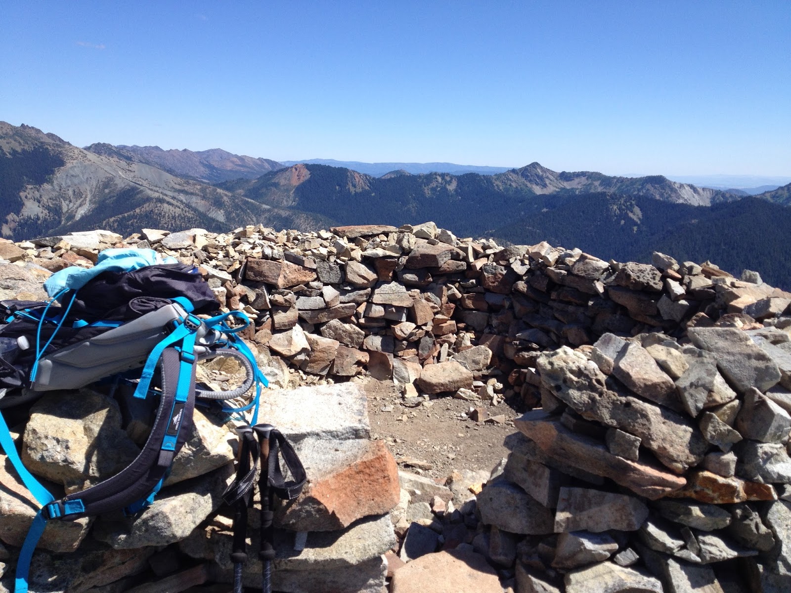
From the first ridge we dropped down a short way into the valley, traversing the ridge and crossing a small boulder field, then zig-zagged our way up the opposite ridge face. There are times I hate switchbacks. This was not one of those times, as we ascended from 5600 to 6400 feet of elevation is short order. To have done so without switchbacks would have been grueling. When we crested the second ridge, we arrived at the location where the fire lookout once stood. It has long since been dismantled and removed. In its place hikers have created a memorial of sorts - a structure built entirely of well placed stones. It was an amazing sight to behold. 

The summit of Davis Peak
The true summit, as well as another false summit, lay just a short half mile down the trail. To one side of us the mountain was lightly adorned in summer green. The other side was the reds and browns one would expect to find in a desert canyon. The contrasting scenery was breathtakingly amazing. Before us the summit loomed, an ominous dark gray in color. The scramble to the top was too sketchy and technical for most of those in our group, but a few braved it. The remainder of us were happy with the false summit upon which we perched. 

We enjoyed lunch and a well-deserved rest within the stone walls of the former lookout. Had a healthy wind been blowing, the walls would have provided us protection. As it was, the summer sun beat down on us and its heat radiated back at us from our walled enclosure. It was then we realized we were basically sitting in a kiln, slowly being baked from all sides. Not wanting to become little hiker raisins, we packed up and headed back down the trail. 

It was on the return trip that I witnessed the cohesiveness of our amazing group come into being. Evie began seriously struggling, experiencing significant and worsening pain in the back of her knee. Every step down the trail was progressively more agonizing. Being the amazing woman that she is, she did her best to keep up but began falling further and further behind. Even though it hurt him to do so, Bill hung back with her to make sure she was going to be okay. At about the half way point the rest of us stopped to wait for them. When we realized how much pain Evie was in, Heidi took her pack from her, proceeding down the trail carrying twice the load. We all maintained Evie's pace, encouraging and supporting her. Another half mile down the trail, we sent the men on ahead, since the slower pace was physically difficult for them. About a mile out from the car, Tony returned, carrying freshly filtered water. After everyone refilled their supply, he took Evie's pack from Heidi. Heidi and Lisa returned to the cars with him while I stayed behind with Evie. Every step she took was accompanied by a silent wince, as the condition of her knee continued to worsen. We began losing daylight as the sun crept below the surrounding peaks and ridges. Next thing we know, here comes Heidi with headlamps so we could safely see the trail.

Once we arrived at the trailhead, we were surprised to find our after-hike clothes and shoes laid out for us. Snacks were waiting, as wer water and electrolytes. Evie was helped out of her boots and into the car. 

Although the day didn't end on a positive note, the journey itself was an amazing one. The weather and scenery were amazing. To experience the camaraderie that hikers share was amazing. Yes, the adventure to Davis Peak can best be summed up as Amazing.

*As a side note: Evie strained her hamstring. She followed her doctor's prescribed treatment and was healed enough to join us for the trip up Mt St Helens two weeks later.

At the Cle Elum River
Hike 41 of 52
Distance: 10 miles
Elevation Gain: 4000'
Highest elevation achieved: 6400'

Friday, August 12, 2016

Carne Mountain

July 30, 2016

The trail to Carne Mountain (pronounced "Karn") was another one that I nervously looked forward to. Admittedly, I was ready to turn around and go home before we were 1/4 of the way up the trail. Not because of the difficulty, mind you, but because there were enough trees down across the trail to make it not fun. Since there are other more popular trails in the area, this one doesn't get hiked as frequently, therefore it falls lower on trail maintenance radars. Other than the dozen or so trees we had to climb over/under, the terrain was even and the trail in good repair. Good trail conditions can make a difficult hike easier, and vice versa. I set my anxiety aside, pulled on my big-girl panties, and faced my most difficult hike to date.  


My hiking partner this week was my younger sister, Heidi, also an avid hiker. I always enjoy hiking with her. Unfortunately our paths don't often intersect, but all the planets in the cosmos aligned just right for us to share a few hikes together before St Helens. Our adventure began before we even reached the trailhead - the road out to the trailhead got 'interesting' in places, and we laughed the laugh of sisters as she deftly navigated every bump, drift and rock in her little Saturn. I'm here to tell ya, that company knew how to build one tough little car. When we arrived at the parking lot I learned that, although our trail isn't heavily hiked, the trail that shares the trailhead is. There were easily 3 dozen cars in the lot and more lining the side of the road, tucked into the brush and trees. We found a spot on the road, parked, donned our packs, and began our trek.

The trail starts out flat and wide for the first hundred yards or so, until you reach the spur trail for Carne Mtn. From there the trail starts a steady, steep climb through a forest of beautiful fir, hemlock and cedar. The trees grow taller and thinner on the east side of the Cascades than on the west, due to the drier climate, which give a different feel to the forest. The air was warm and the smells were divine. It wasn't long before we came to the first of many trees down across the trail - there were over a dozen in the next mile, and some fell in clusters (one tree taking out its neighbors as it fell). We made our way over, under and around each obstacle as we came upon them, noting that some of these trees had been down more than a year.

Heidi demonstrates how to navigate a downed tree like a diva
Trailside Blueberries (photo by Heidi Walker)
Once we made it past the majority of the fallen trees, my sister started experiencing the labored breathing that has been plaguing her all year. I was thankful that it was just the two of us, as we were able to slow down our pace and take more frequent rest breaks without feeling like we were burdening anyone else. The plus side to assuming a slower pace - we had time to graze on all the ripe wild blueberries that lined the trail! The rest breaks came at a cost, however ... the biting black flies were out in force and, as we fed on the blueberries, the flies fed on us. I felt like a goat being herded along by those little jerks nipping at our heels - I have almost two dozen bites on the backs of my legs! Anybody who knows me, knows I wasn't using my polite words...

As we slowly and haltingly made our way up the mountainside, we were treated to increasingly better views of the surrounding peaks and ridges. The sun kissed our faces and a cooling breeze would blow up from the valley. We could hear the Chiwawa River below us as it made its way to join the Wenatchee. Eventually even that voice faded to obscurity as we climbed into the solitude above the tree line where the only sound was that of the wind as it carried off our voices, the occasional clicking of a grasshopper in flight, ... and the stupid flies. After about 3 miles we came to blessedly cool thicket of trees in the shadow of an unidentified peak and facing a rugged waterfall. I left Heidi here to rest while I investigated the trail up ahead. I needed to see how strenuous the remainder of the trail was and calculate our location. This way we could make the decision to push on to the summit or turn around. Although not yet at the summit, the view was beautiful. I caught sight of the larches for which this area is best known, and was humbled by the vastness of the mountainous vista that stretched out before me.


Once I reported trail conditions and status back to Heidi, we decided to call it a lovely mountain hike rather than a summit trip, and we headed back down to the trailhead. The winds had picked up and the sun shifted, casting the majority of the trail in shade. With the cooler temperature, the flies retreated to wherever it is that they go when they aren't devouring hikers. (I'm thinking they return to hell) We stopped mid-trail to eat our lunches, supplemented by another few handfuls of blueberries. By the time we made it back to the obstacle course of trees, Heidi was feeling better and our usual light-hearted banter and girlish giggles resumed. As children we didn't always get along - our mother used to foretell of a day when we would be best friends. I'm so very glad her prophecy came true! 

We didn't make it to the summit of Carne Mountain this trip and I'm okay with that. My sister's health is far more important. The summit isn't going anywhere. We plan on returning this fall for an overnight pack trip, camping near where Heidi awaited me on the trail. We will venture from there to the summit. The summit is supposed to offer fantastic views that will be further enhanced by the spectacular golden hues of the turning larch. I look forward to returning and spending the night under the stars and in the shadow of the mountain with my sister.


Hike 40 of 52
Distance: 6 miles
Elevation Gain: 2395'
Max Elevation Achieved: 5840 ft


Tuesday, August 2, 2016

Green Mountain

July 23, 2016

There is a historical lookout perched atop the summit of Green Mountain that has been the topic of a legal battle, pitting the wilderness preservationists against the historical preservationists. After a recent restoration project, it looked like it was going to have to be dismantled and removed. Finally a settlement was reached and it was allowed to stay via an act of Congress and signature by President Obama. The lookout has on the National Register of Historic Places since 1987, and it is a popular destination. However, the Park Service had permanently closed it to protect it from vandals. Sadly, these idiots exist even on the tops of mountains. I love our historical fire lookouts and visiting this one has been a desire of mine for a few years.

Green Mountain is located in the North-Central Cascades outside of Darrington. It's a busy trail, so we arrived at the trailhead in time to hit the trail at 9am. There were already a dozen cars there, so we knew we would have a little company. For the third week in a row, we were starting off in heavy cloud-cover which we were, of course, hoping would burn off before we reached the summit.

Elbow deep in foliage
Considering the amount of foot traffic this trail sees, it was in GREAT condition! It started out immediately climbing with moderately difficult gain, steadily carrying us up 1600 feet of elevation in roughly 2.5 miles. We hiked through beautiful forest and along the face of the ridge where the thick vegetation grew 3-4 feet tall. The cloud cover stayed with us, teasing us by thinning a bit, then thickening up again, giving us only peeks at what lay beyond. 


We crested the shoulder of the mountain and looked out over a beautiful, pastoral meadow located in a bowl below the mountain. There was a picturesque tarn of crystal clear water. It's glassy surface reflected back the greens and blue-blacks of the trees and boulders of the mountainside behind it. We stood there a moment, enjoying the view. Then it came. The swarm. A cartoon swarm of mosquitos mobilized in a thick black arrow and diving straight for us. We could almost hear a miniature bugle signal their attack. They dive bombed us with a precision any modern day military air force would envy. We armed ourselves with various insect repellents, which caused our assailants to pull back momentarily, but only to re-strategize their offensive. We found that the best defense was to cut and run - so we beat a hasty departure across the meadow, seceding it to our adversaries. Even so, they sent some advance teams out who waged a singular aerial assault, stealthily landing on clothing and impaling us through the cloth. Insidious little creatures.

Having survived the swarm attack, we now faced a 1200 foot climb in just a little over a mile. The trail switch-backed up the face of the mountain, through alpine meadows, rock outcroppings and copses of dwarfed alpine trees. Up and up we climbed, higher and higher up into the clouds - which, I'd like to point out, weren't showing signs of burning off any time soon. The final 1/4 mile is along the top of the summit's arm. We had a drop-off to the right that probably offers some impressive views when not under cover of a thick cottony blanket of clouds. The presence of the clouds added a sense of mystery and suspense that you'll never experience in a movie theater - you have to get out and live it. In places you couldn't tell where a snow field ended and the clouds began.

We climbed up over the last few boulders to the summit where we were met with a most spectacular surprise .. the lookout was open! As part of a park service pilot program, a few volunteer rangers had hauled their gear up for the weekend and opened the lookout. They shared part of her history, the story of her restoration and her future plight. These volunteers stayed the entire weekend up there and would be lowering the shutters and locking her up tight when they left. How successful this program is this summer, as well as availability of trained volunteers, will determine if she is ever opened up again - so this may well have been a once-in-a-lifetime experience for us. 
Our group on the lookout; Dan, Myke, Bill, Evie and me
Marmot amongst the wildflowers
We ate our lunch then headed back down. In addition to her controversial lookout, Green Mountain is also well known for its celebrity marmot. Known as the "Greeter of Green Mountain", this marmot sits on a large, flat boulder and whistles greetings to all the hikers passing through his front yard. We got some good marmot loving from him as we followed the trail around his perch - he's a very talkative chap. A little further down the trail we encountered a large female standing tall, protecting her den. She was beautiful. A bit further down the trail, just before our earlier battlefield, we heard a Pika chattering a warning to us. I pointed her out to the others, then responded to her tirade with a resounding "Eep!, Eep Eep!". Apparently I speak Pika-ese, as she stopped screaming at us, tilted her head and responded with a singular "Eep!" then sat quietly and watched us pass. The mosquitos were busy mounting a blitzkrieg against another group of hikers, so we were able to pass with minimal trouble. From there it was smooth sailing to the trailhead.

Once back at the trailhead we celebrated a successful hike, lamented the absence of a view, and all agreed that this was a trail to be hiked again. Mosquitos be damned. I felt good after completing this trail. Green Mountain has rightfully earned a place at the top of my favorite trails list and I expect to return next year ... with stronger insect repellent.  

"Without new experiences, something inside of us sleeps. The sleeper must awaken." ~Frank Herbert


Hike 39 of 52
Distance: 8.5 miles
Elevation gain: 3300'
Highest elevation achieved: 6500